iTopoMaps 3.6 released

Saturday, September 18th, 2010

3.6 finally hit the AppStore today.

Changes include:
– fixes for quads not successfully transferred after a device restore
– improvements to network connectivity detection
– only allow enhanced (16+) zoom levels on wifi
– reduce network error messages in the field

| Posted in Latest News | No Comments »
Forums return

Wednesday, September 15th, 2010

Forums are back!

| Posted in Latest News, Uncategorized | No Comments »

Server Migration

Monday, September 13th, 2010

We’ve migrated to a new server.  Let us know if you experience any issues, but should be better.

| Posted in Latest News, Uncategorized | No Comments »

iTopoMaps 3.3 – iOS 4 Support

Monday, June 21st, 2010

iTopoMaps 3.3 with a workaround for various keyboard/textfield issues in iOS4 is waiting for Apple’s approval. �Stay tuned!

Read the rest of this entry »

| Posted in Latest News | No Comments »

iTopoMaps 3.0 – iPad Support

Friday, April 9th, 2010

iTopoMaps 3.0 was released with full iPad support! �Enjoy your USGS maps on a high res screen today!

More to come on this exciting new platform, but for now you can plan your trips on the couch.

Read the rest of this entry »

| Posted in Latest News | No Comments »
2009 Backpacker Gear Guide Review

Friday, October 23rd, 2009

Thanks for the review, Backpacker!� Page 74 of the 2009 Fall/Winter Gear Guide:

thanks!

| Posted in Latest News | No Comments »

iTopoMaps 2.7 Released! Email track, quad, and waypoint import and more!

Thursday, August 6th, 2009

Version 2.7 was released today!

You can now import tracks, quads, and waypoints via email, not just a URL.� Simply register your email on the device,

and then you can send .GPX files as attachments.

This version also allows you to change your map source on-the-fly without restarting.�

�Easily jump between USGS, Toporama, OpenCycleMap and OpenStreetMap!

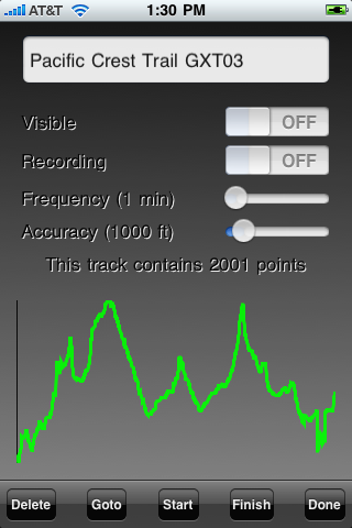
Finally, elevation profiles are now displayed for tracks:

Read the rest of this entry »

| Posted in Latest News | No Comments »
iTopoMaps 2.5 Released! Improved USGS Map Quality!

Wednesday, July 15th, 2009

Version 2.5 was released today!

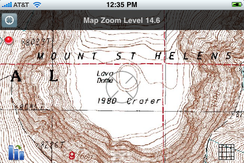
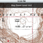
�Finally, more up-to-date and higher quality USGS maps are available. �Note that St. Helens is finally missing its top! �The highest zoom levels are now correct, and higher levels will be updated shortly.�

�This version also fixes several bugs with centering waypoints, tracks, and quads, as well as selecting the start or finish of a track.�

�

Read the rest of this entry »

| Posted in Latest News | No Comments »

iTopoMaps 2.3 Released! Photo Waypoints and Canadian Maps

Monday, July 6th, 2009

Version 2.3 has finally hit the AppStore today!!

  • Photo Waypoints – Take a Photo or choose one from your library to describe a waypoint
  • Waypoint popup views show the waypoint’s picture, coordinates, and elevation.
  • USGS and GNIS Databases are now only downloaded when they change, not with every app version.
  • Canadian 1:50k topographic maps!!
  • Requires iPhoneOS 3.0 or later�

Thanks for all your support, and keep the suggestions coming!

Read the rest of this entry »

| Posted in Latest News | No Comments »

iTopoMaps v1.6 released

Tuesday, June 30th, 2009

iTopoMaps v. 1.6 has hit the AppStore.  This version fixes a bug with waypoint import.

Version 2.0 is now on its way! Substantial UI and performance improvements across the board.  

Read the rest of this entry »

| Posted in Latest News | No Comments »