iTopoMaps 2.3 Released! Photo Waypoints and Canadian Maps
Monday, July 6th, 2009
Version 2.3 has finally hit the AppStore today!!
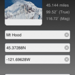
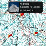
- Photo Waypoints – Take a Photo or choose one from your library to describe a waypoint
- Waypoint popup views show the waypoint’s picture, coordinates, and elevation.
- USGS and GNIS Databases are now only downloaded when they change, not with every app version.
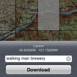
- Canadian 1:50k topographic maps!!
- Requires iPhoneOS 3.0 or later�
Thanks for all your support, and keep the suggestions coming!
Category : Latest News
You can follow any responses to this entry through the RSS 2.0 feed. Responses are currently closed, but you can trackback from your own site.
Comments are closed.
